
Pioneer 60
The Mountain
A serious, strenuous Alaska mountain hike with scrambling — not a technical climbing objective.
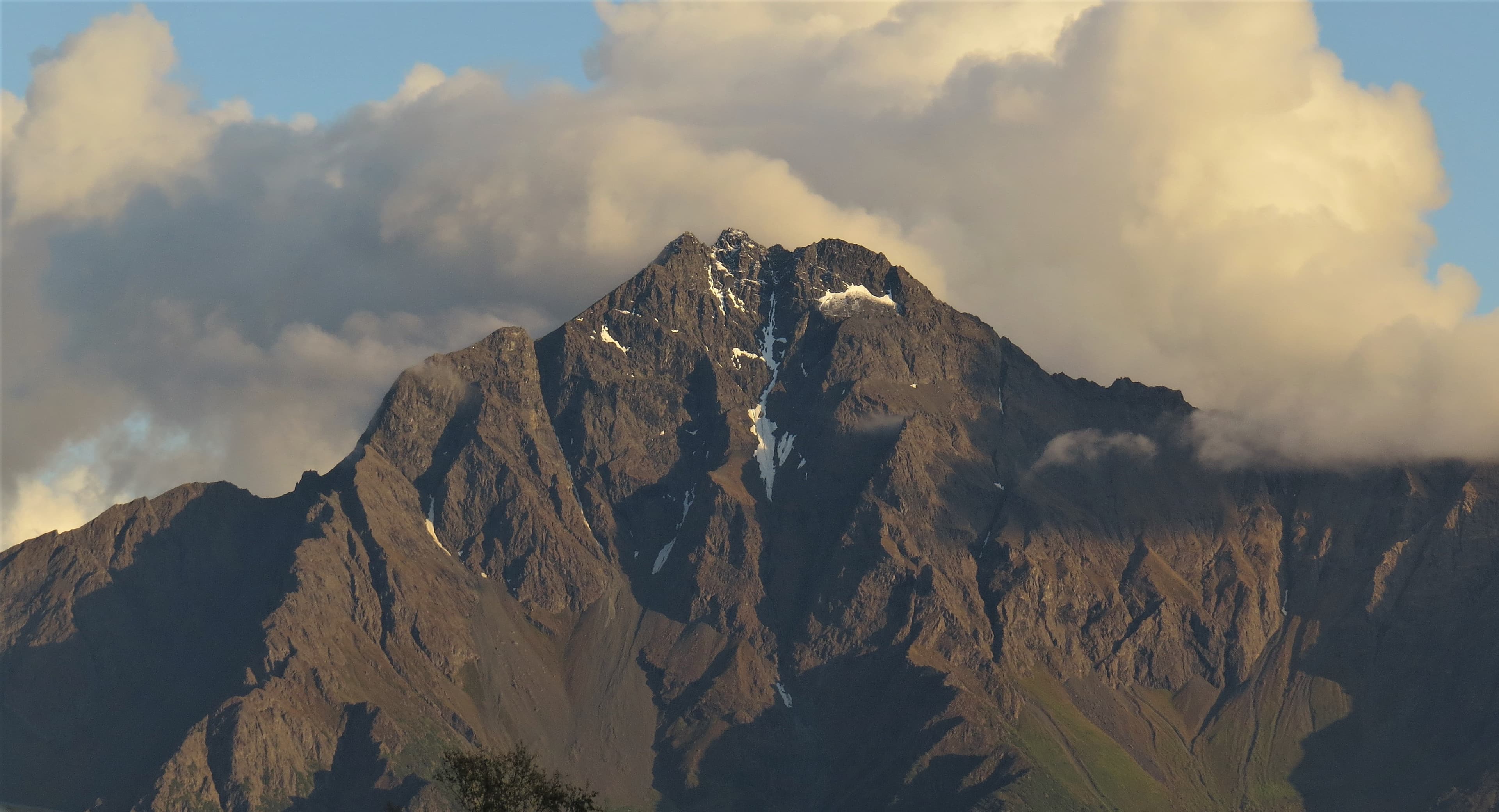
Pioneer 60 climbs on August 20 — by then the upper mountain is normally bare rock and scree like the photo above, not the deep snow cover seen in winter and spring photos of the peak. Worth knowing if you’re planning gear or travel from out of state.
Mountain At-a-Glance
~12 mi
Round trip
5,000+ ft
Elevation gain to the ridge
nearly 6,400 feet
Summit elevation
Full-day objective
Time commitment
Trailhead sits at roughly ~150 feet. Figures are general trail dimensions from the Mat-Su Borough’s own published trail information — exact distances can vary by route choice and season.
Pioneer Peak rises directly above the Matanuska Valley near Palmer, Alaska — one of the most recognizable mountains in the region. Our objective is the South Summit, reached via the Pioneer Ridge / Austin Helmers route, not the true (north) summit, and not a technical climbing route.
The Route
The Austin Helmers trail climbs from forest into switchbacks, breaks out onto an open alpine ridge, and finishes with a summit push over loose Chugach rock and short sections of scrambling. Per the Mat-Su Borough’s own trail information, hikers crest Pioneer Ridge around 3,200 ft, with the top of the Pioneer Ridge Trail around 5,300 ft — meaning most of the route’s elevation gain happens before you’re anywhere near the summit push. It is a long day on your feet with major elevation gain from trailhead to summit — the kind of climb that demands real preparation, not a casual afternoon hike.
What Makes It Serious
Elevation gain
A major, sustained climb from trailhead to summit — most of it before you reach the ridge.
Loose rock & scrambling
Chugach rock is notoriously loose. Hands-on-rock scrambling is expected near the top.
Exposure
Sections of the ridge and summit push have real exposure and steep drops.
Weather
Conditions on the ridge and summit can differ dramatically from the valley — and change fast.
Wildlife
This is bear country. Standard Alaska backcountry awareness applies.
Water & fueling
No reliable water source for much of the route — plan to carry what you need.
South Summit vs. True Summit
Sources don’t consistently agree on exact elevation figures for Pioneer Peak’s South Summit. The true/north summit is commonly cited around 6,398 ft; the South Summit — our objective — is generally described in the range just below that. Rather than state a false-precision number, we describe it as nearly 6,400 feet. The South Summit hiking route does not require ropes or technical climbing gear under normal summer conditions — but it is not a casual hike either.